Digitisation campaign using drones by GOAT Drones and Dronicola, with special collaboration from MCR
As a result of the collaboration agreement between GOAT Drones Solutions and Dronicola, the first common digitisation campaign has been successfully completed, with GOAT Drones contributing its expertise in aeronautical coordination and Dronicola in photogrammetric image capture and the subsequent generation of hyper-realistic digital twins from those images. The fieldwork was carried out with pilots from both companies working together.
In addition, MCR, as DJI Enterprise’s master distributor for Spain and Portugal and technology partner, has contributed a valuable tool specialising in photogrammetry to the campaign: a DJI Matrice 4E. Thanks to this, the results are of the highest possible quality due to its sensors and AI in mission planning.
The collaboration of the cluster of technology companies specialising in drones has generated four case studies of great value to all parties.
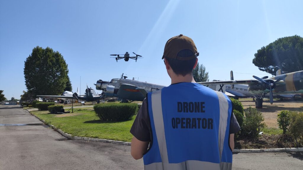
Digitisation of an aircraft from the Spanish Air Force Air and Space Museum
As part of the joint project between GOAT Drones and Dronicola with the Museum of Aeronautics and Astronautics, the digitisation of the Junkers 52 has been authorised. It has been a technically complex task, as well as an intense one in terms of aeronautical coordination. We would like to take this opportunity to thank all the museum staff, and on their behalf Colonel Director Manjón and Lieutenant Colonel Deputy Director Puente, for their support and consistently cordial and professional treatment.
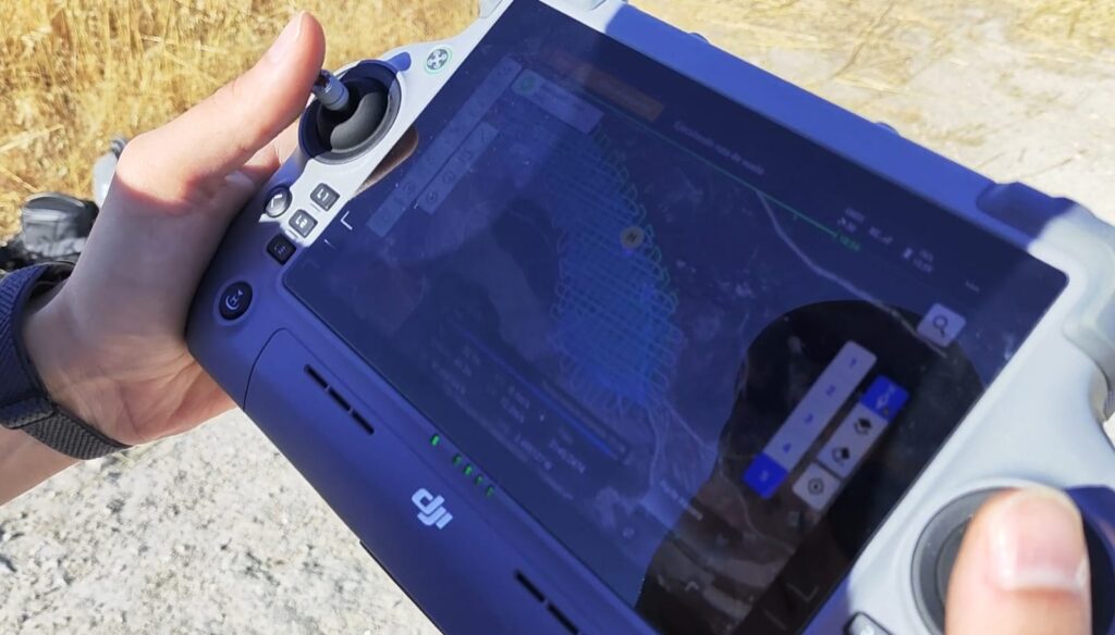
Digitisation of the Castle and abandoned village of Oreja
As an exercise in digitising environments of varying heights and textures, we decided to perform photogrammetry on the castle and abandoned village of Oreja, which allowed us to test the Matrice 4E in moderate wind conditions, on uneven terrain with cliffs, and to use the tower’s smart capture function, thanks to the local point map functionality after scanning the terrain. This provided a higher level of definition.
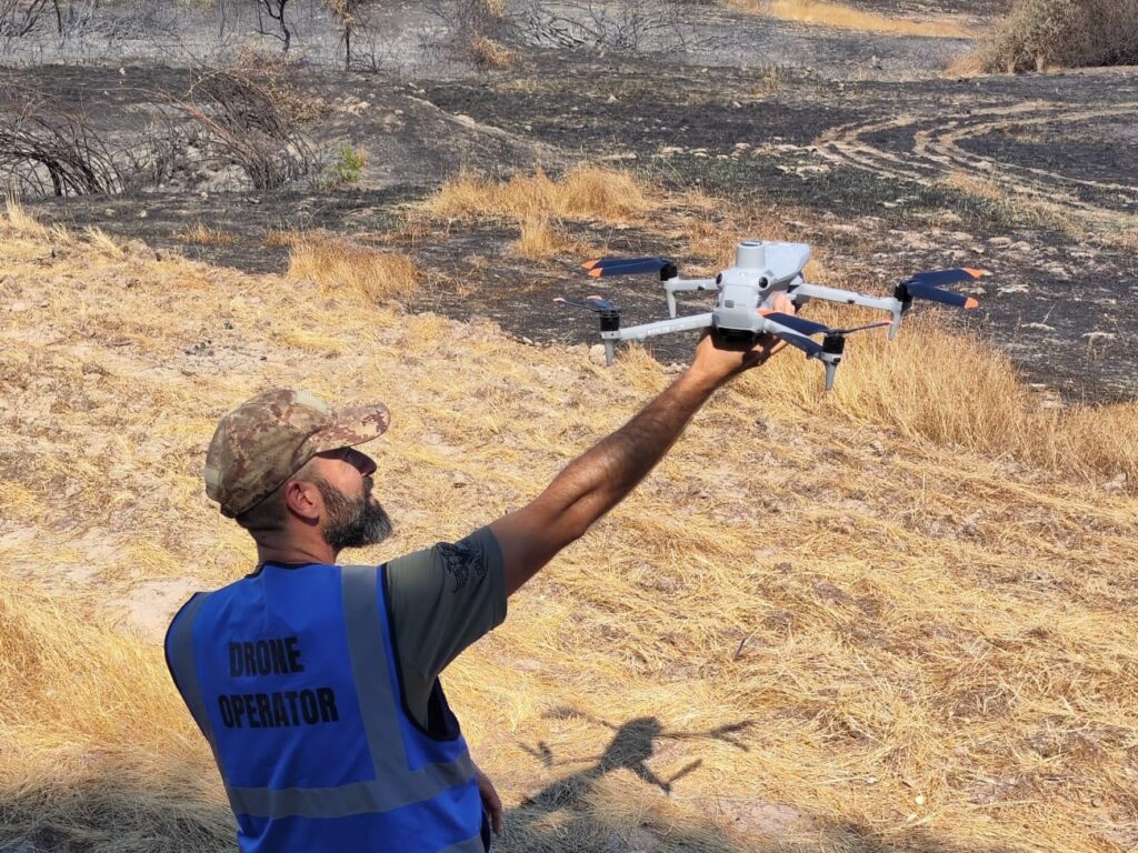
Survey of extensive land after partial fire
A survey mission covering approximately 200 hectares was carried out in high-efficiency mode, subjecting the UAS to the stress of being in the air for around three hours without rest and with hot battery charging. The result shows that this type of work can be carried out quickly for land comparison after a fire or emergency inspection.
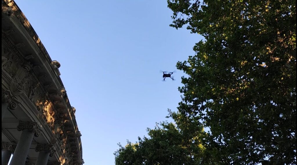
Digital twin of the Alfonso XII Monument in El Retiro, Madrid
One of the goals of the campaign was to create a digital twin of an iconic location in Madrid, and it was decided that the Large Pond and the Monument to Alfonso XII in El Retiro Park in Madrid were sufficiently representative. This was also technically complex, as the presence of vegetation near the arch that semi-encircles the monument leaves blind spots that are difficult to access.
In summary, the collaboration between GOAT Drones, Dronicola, and MCR in this digitisation campaign in central Spain has enabled the comprehensive use of the DJI Matrice 4E drone in various scenarios, positioning the tool itself, DJI Enterprise as a reliable provider of business drone solutions, and GOAT Drones and Dronicola as specialists in comprehensive digitisation services with UAS, carrying out the process from start to finish, from the necessary coordination to the hyper-realistic digital twin, including the fieldwork, however complex it may be.
At GOAT Drones, we would like to thank all those involved who made this campaign possible: Rubén Bernardino and Eduardo Padilla from Dronicola, Iván Álvarez, Javier Rodríguez and Eduardo Vales from MCR, all the managers we coordinated with and, of course, our own staff, who carried out the required work with excellence. You can view the MCR’s recognition note by clicking on the following image:

Do you have any questions or would you like to request a free quote? Use the form below.